Sunday, August 26, 2012

Cloverdale to Santa Rosa/Santa Rosa to San Rafael

Pacific Coast Route Oregon and Northern California, Days 12 & 13

Day 12

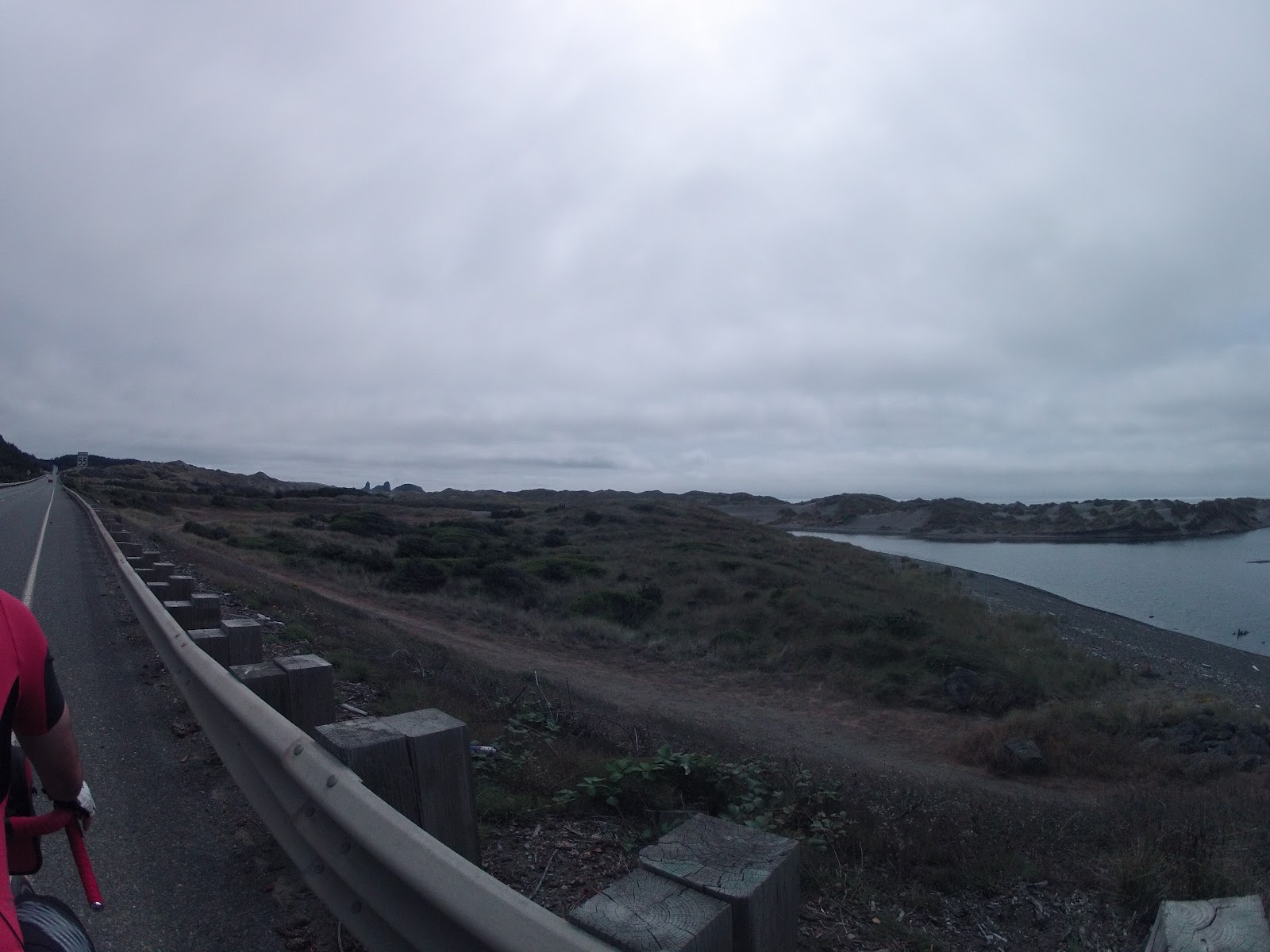
Waking up to damp clothes and the prospect of a ride, followed by several hours of driving to retrieve our gear did very little to dampen our enthusiasm for continuing on. We understood that what we were dealing with was minor, and wouldn't even change the course or distance of our bike trip. It was fortunate that the screw on our rack had failed so late in the game, because if that had happened earlier on, it might have been the end of our trip.

We took some time to blog on the hotel's computer and ate up the free continental breakfast, which to our surprise included belgian waffles! By 10am we were back on the road with about 30 miles of Vineyard littered roads to cover on the way into Santa Rosa.


We reached Santa Rosa in the heat of the day, hungry and a little dehydrated. Maybe that's why we did something we hadn't done the entire trip...we ate at a chain restaurant, a fast-food chain at that. Panda Express never tasted so good, and soon after we picked up our Dodge Avenger at Enterprise and were headed back to the Anderson Valley for our gear.

It took over an hour and a half to get to Navarro from Santa Rosa, despite being tailgated into some serious speed on the 128 by gigantic trucks. We were amazed that they could manage to stay upright, regardless of the fact that they probably do that road all the time, and also a little relieved not to be on our bikes. In fact, the driving was almost enjoyable. The speed and comfort with which we travel by car from place to place on a daily basis is tremendous, and on that occasion, we had reason to appreciate it even more.

We picked up our gear, showered the Navarro store-owner with praise, bought as much food and drink as we could possibly need as a thank-you, and started making our way back through the vineyards of the Anderson Valley.

On the way back to Santa Rosa, we stopped at Roederrer winery, which is known for its bubbly wines (Roederrer is the winemaker responsible for Cristal, among other well-known champagnes). After some refreshing tastings there, we headed to Toulouse, which was Yelp's suggestion for the best winery in town. Toulouse is hands-down, no doubt about it, my favorite winery. We sampled four whites and five reds and both of us LOVED all but one of them. That's a very high hitting percentage, especially since we've lived in and around wine-country for several years now. After a quick pass through Healdsburg to get another look at their charming downtown area (we're in love with this city!), we pushed on towards our hotel.
 
 
When we got back to our hotel in Santa Rosa, the Best Western Plus Garden Inn, we took a few moments to lay in bed and relax, but were soon ready for more adventure. Not feeling hungry even though it was getting dark, we decided to go see The Campaign at a theatre nearby and were treated to lots of laughs. Afterwards, we headed to Russian River Brewery nearby for a late-night meal and beer. Apparently, that's the spot to go for such things, as we ended up on a waitlist to sit down at 10:30pm. The wait was worthwhile though, and we had a great meal and I treated myself to "Pliny the Elder," one of the best IPA's of the trip.

Day 13

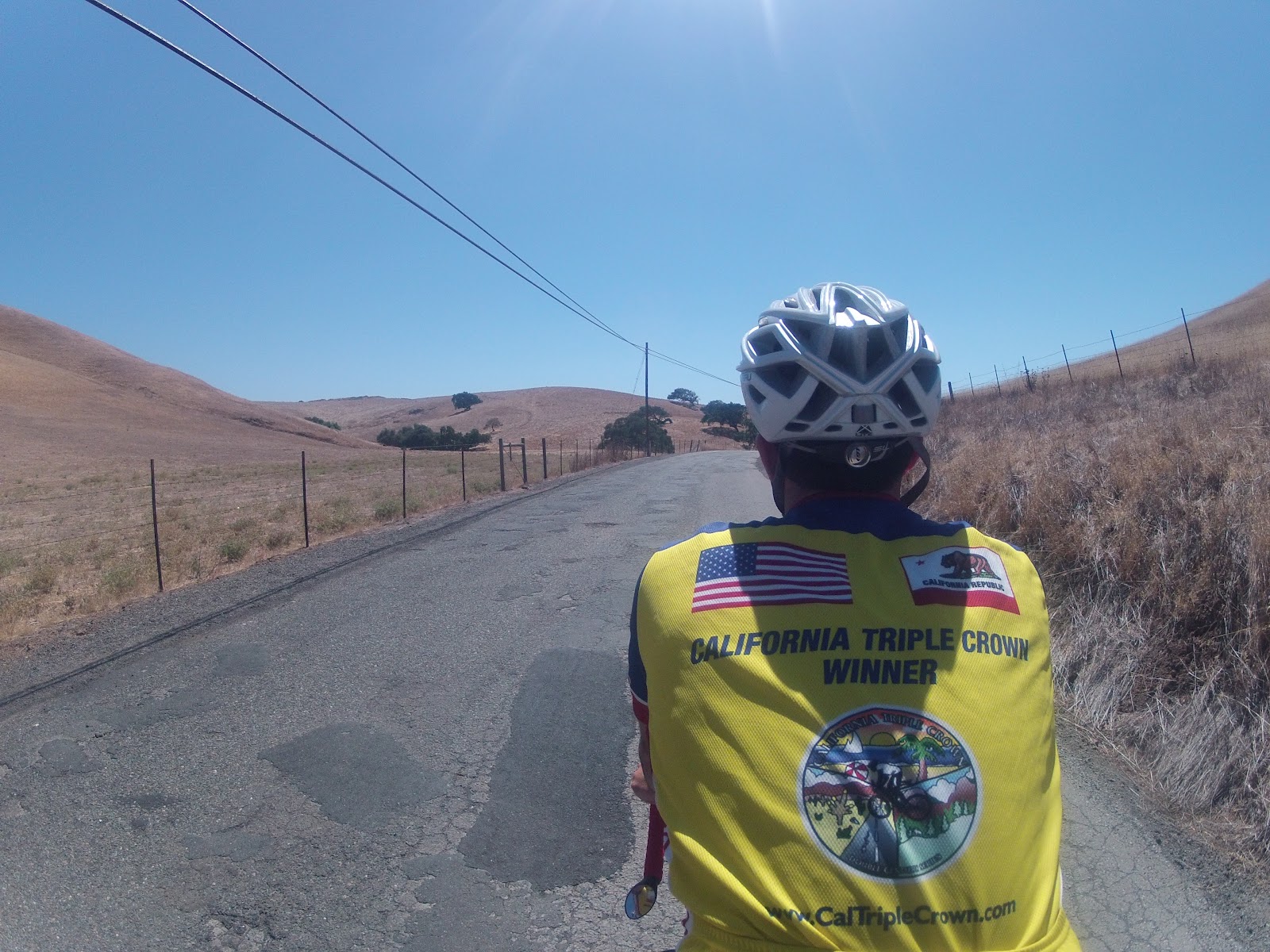
The last day of our trip was sort of relaxed because my friend Reuben wasn't due back in the Bay Area with my car keys until early evening. We slept in for the first time during the trip and spent a few hours updating our blog at the hotel computer. Then, we returned the rental car and headed back out on our unloaded tandem to do the last 50 miles of our trip.

We passed through first Petaluma, then Novato, inching ever closer to our destination of San Rafael. Leftover cheetos and Red Bull were consumed, climbs were conquered, cow pastures were successfully moo-ed at; we got it done.


In fact, we got it done well enough that we reached our destination in time to hit BJ's Brewery for Pizookie (for those of you not in the know, this is the best restaurant dessert money can buy). Then, we road the inter-city bike route to Fairfax, which turned out to include what was by far the steepest hill on the trip. Fairfax was cool and the little neighborhoods of San Anselmo and Kentfield made us dream of the future (a future with a lot more money, ideally).

 
 We met up with Reuben back in San Rafael around 6pm, ready to bring an end to our trip, but still having to drive my car back up to Santa Rosa to grab our gear, which we had left at the Best Western. The time in the car passed quickly, though, and soon we were back in Reuben's neighborhood, near Golden Gate Park, eating Thai food and recounting the highlights.

Wednesday, August 22, 2012

Westport Hotel to Cloverdale

Pacific Coast Bicycle Route Oregon and Northern California: Day 11

We awoke, well rested, to fruit, scones, and coffee at our door today. This hotel is just what we needed coming off two hard days and facing a third. Got packed up and headed downstairs for a second course, a fresh fruit parfait and more locally produced coffee.


By the time we were finished eating our multi-course breakfast it was nearly ten o'clock, meaning we got a bit of a late start on what we hoped would be a 92 mile day. We had been feeling so strong the last few days that we decided to push past our projected campsite at Hendy Woods, just 55 miles in, and aim for Cloverdale, the next city large enough to have some inexpensive hotel options.


Riding along the coast, over very steep pitches and consistent rollers, we made our way through cow pastures and past some small enclaves of vacation homes. The ripe blackberries dangling from fences by the side of the road tempted us, but we knew we had to keep moving to make our goal for the day before dark. We rode on through Fort Bragg, stopping only for a quick restroom break and made reasonable time despite a headwind.


At about 26 miles in, we came upon the town of Mendocino, which was an ideal stopping spot for lunch and our last obvious opportunity to refill our bottles ahead of forging inland into the heat of the Anderson Valley. We took a Yelp recommendation for Mendo Burger, a local burger joint just behind the main street in town. While happy with the food, we somehow ended up spending $30 on burgers, fries, and soda...we're definitely not in Oregon anymore! The food also took almost half an hour to get to us, with the excuse being that all their food was "made to order." We left town mostly satisfied, but concerned about making up for the late start and lost time.

After another 10 miles or so of cycling down the coast, we finally hit HWY 128, which was to be the last turn of the day, though we were still more than 55 miles from Cloverdale. This road was flat, well-paved, and allowed us to take advantage of Eastbound winds blowing off the ocean. Our pace lifted and so did our spirits.


A few miles into our speedy ride up 128 into the redwoods, we started hearing a noise coming from the back of our bike. We had found a screw loose on the lower left connecting point of rack to frame several days earlier and initially thought that might have happened again, but as it turned out, things were about to get complicated.


After some investigation, we realized that the screw holding the rack to the frame on the right side had snapped right off, and the lower connection point of the rack was supporting itself by scratching into the frame and sitting atop the wheel skewer...NOT GOOD! The load being carried on the rear had become unstable, and the rack was starting to bend to the right.

We consider our options as we stood in amongst the giant redwoods, 15 miles from Mendocino and nearly twenty miles from Boonville (the next town on the map). We tried to lighten the load by putting the panniers on our backs, but there was no good position for them and our other items swayed recklessly on the rack with no panniers to rest upon. We put the panniers back on and decided to make for Hendy Woods, some 11 miles up the road, where we hoped to find a better solution.

Forced to move slowly to avoid the danger of a high-speed crash, we took nearly 45 minutes to travel another four miles, where we came upon the town of Navarro, which is to say we came upon the Navarro General Store, hidden amongst the trees.

After speaking to a few locals with trucks without any luck getting a ride into a bigger town, we were running out of time to make it to a city before dark. A hitchhiker who we had been leap-frogging the same route with for several days turned up and, seeing our rack problem, declared himself the winner
the likely winner of our race down the coast.

At nearly 5pm, we made the decision to ask the storekeeper to hold our belongings until we could ride into a city big enough to rent a car and come back. He accepted, only after first asking us if our bags were full of drugs, weapons, or other contraband (apparently that's something to be concerned about in the area). The more we talked though, the more the storekeeper and the other employee warmed up to us and we felt assured they would take care of our gear. All that was left to do was ride 43 miles to Cloverdale before dark...

The first hour, we flew down HWY 128 with the wind at our backs and our bike now much more nimble, but as we reached the town of Boonville, our energy began to fade and so did the coastal breeze. It was still more than 90 degrees and we stopped for gatorades and a snack.

While I was in the store, a bicycle touring company (Undiscovered Country Tours) owner came in to re-supply as well, and after hearing our plight, he gave Jo a few cliff bars to help us on our way. Again, we were reminded of the friendly and supportive nature of the bicycling community, and especially of those who know the challenges of touring.


After Boonville, the roads headed upward in a surprisingly steep fashion and the shoulder thinned out significantly, making us both exhausted and uneasy about the prospect of not making Cloverdale by dark. Just when things were becoming unmanageable, nature distracted us. Deer turned up all over, boars roamed through the brush, and sheep grazed as the sun began to set.
 
 
After making it up the last climb (which a road sign suggested was 8% for 2 miles), we began a spirited descent down winding roads towards Cloverdale with our front light on, though we didn't yet need it. Finally, around 8:15pm and now using the bike light actively, we peddled into the town of Cloverdale, sighing relief and cheering after completing a 90+ mile day.
 
The Super 8 hotel was nearly as welcome a sight as the Italian food spot right next to it. We gorged on spaghetti and meatballs and pesto pizza and then headed back to our hotel to sink-wash the clothes from our backs in order to be ready for the next morning's ride into Santa Rosa. 

Tuesday, August 21, 2012

Garberville to Westport Hotel

Pacific Coast Bicycle Route Oregon and Northern California: Day 10
 
 
Departing camp took much longer than we were accustomed to on this morning, and we found ourselves getting some serious hunger pangs as we made our way into the town of Garberville for breakfast at another Yelp recommendation called Flavors Coffeehouse. Our appetites were satisfied by a gigantic mocha, a breakfast burrito, and some homemade pastries.


Spurred on by the promise of the Westport Hotel at days end, and the desire to reach the infamous Leggett Hill portion of our days riding before the full heat of the day, we moved along as quickly as possible, passing through a few small towns in various states of repair and disrepair on the old highway. The riverbed remained a constant until we hit the town of Leggett, the last call for touring cyclists before what is arguably the toughest section of road on the Pacific Coast Route. We filled up our bottles and bought an extra Powerade to carry with us, had a popsicle (it was getting very warm!), and a few chips.


We hit the climb in earnest mid-afternoon with the heat sit heavy on the tarmac and as we bounced from shadow to shadow, looking for tree-cover whenever we could find it, we settled into a rhythm for the long slog up. There aren't any photos of this section because we got very focused, sometimes with the help of Franz Ferdinand's ideal downbeats, and sometimes with just the sound of heavy breathing and the occasional grunting outbursts as we came upon steep section.


We stopped twice to reach the top of the climb, finished about 70 ounces of liquid, and sweating out at least that much. We came to the top dizzy with exertion and took a moment to recover before starting the descent. The downhill through the trees was exhilarating, sometimes too much for Johanna's liking, but I was very comfortable with the gradual curves and mostly smooth roads.


I had read that this portion includes a second hill, which comes as a shock and can be pretty disheartening, and guess what: it was all that and more! This part was shorter, but very steep in sections, and after pushing through 77 miles the previous day and going over Leggett hill, we had little left in the tank. We crested again and enjoyed another brief reprieve as we descended, trying to catch a glimpse of the coast. The road flattened first, then the ocean breeze began to push against us, while at the same time urging us forward. We finally reached the coast and paused to enjoy a beautiful view on what was for us an uncharacteristically clear day by the ocean.


Exhausted, we rolled on along the coastline, passing rolling pastures and a state beach where we could see that some working setting up camp. Four miles out we spied the little town of Westport, but between us and it were a number of steep coastal rollers. We used the last bit of strength to push up the hills and into town where we came upon the charming Westport Hotel, a beacon of bright white siding and second-story balconies.
 
We found a note at the door saying to call the inn-keeper to be let in, and that our AT&T phone wouldn't allow us to do so. We made the two block walk down to the local general store to call the inn-keeper and were quickly let in. The hotel is very attractive on its own, but to the eyes of touring cyclists it might as well have been The White House!


After settling in and washing our clothes in the sink one last time, we were provided with advice to get "the best pizza in the world" from the grocery store down the block. We enjoyed a very tasty dinner out on our balcony on our return with a glass of organic vino from Frey Vineyards and a beautiful sunset along the horizon. 


Garmin 500 Data:
 
Distance: 52.22 miles
Elevation Gain: 4,154 feet
Avg Speed: 9.1 mph
Avg Moving Speed: 11.3 mph
Max Speed: 42.9 mph
Avg Temperature: 78.7F
Min Temperature: 60.8F
Max Temperature: 93.2F
 

Monday, August 20, 2012

Eureka KOA to Garberville

Pacific Coast Bike Route Oregon and Northern California: Day 9

We got off to an early start this morning, leaving by 8am from the KOA in anticipation of a long day in the saddle. Our intention was initially to make the Burlington Campground in Humboldt Redwoods State Park, but we planned to continue on if we felt good and figure out where to stop as we went.
 
It was nice not to have to re-pack the camp and we had some great leftover pizza from the night before to get us going. We'd gotten a recommendation for our first meal stop from two locals we met at the jacuzzi the night before, which was in the city of Fortuna.


Quick work was made of the ride into and past the town of Eureka and we soon found ourselves barreling down the 101 southbound (not unlike the occasional logging truck passing us by). We came to an opportunity to ride a parallel road called Eel River Road, which features a consistent, but less steep grade than the 101 route. We put on some music and blasted up the thing before stopping for a little break.
 
 
We hit Fortuna and Hot Brew Coffee earlier in the day than we were used to stopping for lunch, but were hungry enough to take some food in and have some of their house blend of coffee. After the meal we crossed the street to Safeway to buy some supplies for the camp that night, which took longer than we had hoped, but we got rolling again around noon.


As would be the case for a number of days, the route followed riverbeds, like the one shown above. This made us feel comfortable that we wouldn't be doing any ridiculous amounts of climbing, and we were generally right. Despite a slight headwind, we continued along at a strong pace until we hit Avenue of the Giants.


While maybe not quite as stunning as the passage through Prairie Creek's grove of redwoods, the Avenue of the Giants was a very beautiful ride under the shade of trees that had been standing for thousands of years. Being inland, this kept us out of the sun, and combined with the gentle grades, we passed smoothly through the more than thirty mile section.


After reaching and continuing past Burlington Campground, we made our way towards Dean's RV Resort and Campground, where we hoped to find accommodation for the night. A few miles outside of camp, we came upon Phillipsville where we decided to re-supply the water bottles and have some ice cream. We met a fellow bicycle tourist named Kat and her dog Moxy, who were headed in the same direction and chatted for a bit.

When we reached Dean's Resort, we found their cabins full, their motel rooms overpriced, and their campground a little disappointing compared to where we had been camping (and at three times the cost). Indecision hit us for a few moments, but with minimal reception we had trouble exploring other options and decided to stay put for the night. Just as we were paying for the campsite, Kat came along and offered to split the tent site with us.

We set up our Big Agnes Seedhouse SL tent and Kat set up her hammock and we chatted a bit more before heading up to the hot tub to relax sore muscles. We were suprised, though, to feel as good as we did after covering 77 miles in a single day.


Sunday, August 19, 2012

Prairie Creek State Park to Eureka KOA (to be completed ((we're tired!!!)))

Pacific Coast Bicycle Route, Oregon and Northern California: Day 8


Garmin 500 Data:


Harris Beach State Park to Prairie Creek State Park

Oregon and Northern California Coast Bike Trip: Day 7

Upon the recommendation of the Vista Pub barkeep, after packing up our campsite, we made our way to the last stoplight in town, where we had breakfast at Mattie's Pancake House. Johanna had eggs, pancakes, and red potatoes and I had the blueberry pancakes, which were wrapped like crepes. Lots of coffee was consumed as well! After breakfast, we soon passed a major milestone for our trip: the border between Oregon and California.


Heading south yet again, we passed through some coastline before heading inland on less-travelled roads, eventually coming to Crescent City. Apart from the Starbucks, we were mostly unimpressed wiith this town, but at least part of that could be do to the continued fog. After making a second stop in town at Safeway to pick up bread, oatmeal, and other provisions for the next few meals, we headed out and onto the major climb of the day.


The climb outside of Crescent City moved upward into increasingly dense and large growth, eventually gaining just over 1000 feet of elevation. This climb was billed as the second hardest of the trip, but we made short work of it and enjoyed a speedy descent down the other side.


(Descent video coming soon...)
Upon reaching the end of the climb, we found ourselves at an ideal lunch spot, sitting by the sea in half-fog, half-sun. We spent a while looking out and devouring our Safeway-bought sandwiches before continuing on.


Soon, we came to Trees of Mystery, an attraction that had been advertised roadside for several days of riding. We were greeted by an oversize Paul Bunyan and Blue, one of which shocked and amused the children playing below as he seemed to hear and respond to their every noise. After trudging up the half-mile trail, albeit through beautiful redwoods, we came to the gondolas meant to take us to the top of the treeline. This was definitely a highlight of the trip, and as we neared the top of the tramway, the sun broke through the fog for the first time in days.


Having spent over an hour off the bike, we were eager to continue on up the climb to the next city, Klamath. The town was a raucous mix of locals and Yurok tribesmen returning home for the yearly "Salmon Festival" and we felt quite out of place as we stopped to refuel.

Climbing out of the ravine that housed the transient town of Klamath, we came to the turnoff to Prairie Creek Redwoods State Park, only to find that we were still seven miles shy of the actual campground. After an additional mile and a half of climbing, we pulled out the speakers and tuned into some Aerosmith to get us in. Mostly descent from there, we breezed through spectacular redwood groves for a number of miles before entering the campground through a clearing known for its frequent elk sightings.


Setting up camp, we had two concerns: the temperature had topped out at 58 for the day and was plummeting downward and we were instructed to use the bear boxes located next to our site. Matt and several other bicycle tourist pulled into the hiker/biker sites soon after us and it was good to again be around the familiar. With no sign of bear and breakfast link sausages cooking on an active fire, we settled into another night under the stars.

Garmin 500 Data:

Distance: 63.04 miles
Elevation Gain: 3,307 feet
Avg Speed: 10.1 mph
Avg Moving Speed: 12.4 mph
Max Speed: 39.2 mph
Avg Temperature: 63.4F
Min Temperature: 55.4F
Max Temperature: 77F


Port Orford to Harris Beach State Park

Oregon and Northern California Bike Trip: Day 6

Leaving the Seacrest Motel, we headed up into the woods, passing Humbug State Park a few miles in. The terrain seemed mostly uphill, and we ran into some construction along the coast. As we passed, a construction worker pointed out toward the ocean and there we had our first whale sighting of the trip. We first saw fluking and then the tail in the air. Just a few miles down the road we saw another whale in a bay lined with rock outcroppings in the ocean.


Working mostly into a headwind in the morning, we came to the town of Gold Beach around lunchtime. We turned into the Barnacle Bistro, a spot I had found on Yelp before the trip. The Yelp recommendation could not have been more accurate, and we had one of the best meals of our trip. Jo had the Polish Beer Bomb (sausage, mushrooms, onions, swiss cheese on ciabatta bread) and I had a grilled Tillamook Cheddar cheese sandwich with pesto sauce.


In the afternoon, we were blown by a slight tailwind, and passed the distance without incident, except for seeing a porcupine on the side of the road. We came into Harris Beach State Park tired and ready for a break. After starting to set up camp, we headed to the showers, and returned to find much of our food eaten by crows. The birds had pecked through grocery bags and wrappers and left only the plastic. Despite the setback, our morale was boosted by finding a laundry area at the campsite, which we took advantage of to dry many of our wet clothes that had gone undried with the fog of the day.


We rode, unloaded, about a mile into Brookings for dinner at another Yelp recommendation, the Vista Pub. Jo sampled a "Quick Wit" from a local brewery and I tried first the Boneyard IPA, then the RPM IPA (the Boneyard was amazing!). We dined on grass-fed burgers that had matured just six miles north, and much of the rest of our meal was sourced from the immediate vicinity (one can taste the difference).

We left Vista Pub pleasantly satisfied and head back to our campsite, where we threw the frisbee around a bit. We also met Matt, a fellow traveler who had been making great time down the coast. He just recently graduated from college in Milwaukee and started from Seattle just 7 days earlier.

Garmin 500 Data:

Distance: 53.92 miles
Elevation Gain: 2,982 feet
Avg Speed: 10.4 mph
Avg Moving Speed: 12.3 mph
Max 42.3 mph
Avg Temperature: 65.8F
Min Temperature: 60.8F
Max Temperature: 77.0F

Friday, August 17, 2012

Sunset Bay State Park to Port Orford (Photos to be Added)

Pacific Coast Bike Trip: Day 5

We managed to get the camp packed up faster than usual this morning, but still had time for some Mountain House Blueberry Granola and bread with Nutella! With spirits high, we set out on what was supposed to be the shortest day of the trip...

Upon leaving the park, we headed south on the same road we had entered by, which as it turns out was a mistake. Despite pleadings from our Garmin GPS, we pushed on for about a mile and a half before decided to consult our Cycle Oregon map. About 20 minutes after we started the day, we arrived back at Sunset Bay and began again.

The route calls for backtracking into the little port town of Charleston, and then begins in earnest when one makes a turn onto a road aptly named "Seven Devils Road." We hope to upload Garmin data soon and that will tell the tale, but there were several excruciatingly steep sections. Our quads screamed and our backs ached as we hooted and howled our way up the devils. Someone who was clearly not on a bike at the time of writing had spray-painted words of solace on the pavement as we came over some of the harder sections; they didn't help much.


After summiting this series of climbs, we were supposed to have a few rollers, a gradual descent, and then flat roads into the finish, which sounded just about right. What we got instead was a series of rollers where our momentum was blunted by headwinds (yes, our tailwind luck ran out) and dodgy shifting from the front derailleur. As we reached the halfway point and our lunch stop we pulled into a local bike shop and spent some time recovering and tuning the bike.

The town of Bandon had a nice little downtown, worth exploring more than we did, but we scored BIG TIME when we chose High Brow Cat Bistro for lunch. Jo had the best gyro of her life (her hero for the day) and I had a delicious pepperoni pizza made on a pita-bread crust.


Back out on the road we continued to face a headwind that I will estimate at 10 mph. Not enough to break us, but enough to keep us out on the road much longer than we had intended. The countryside continues to be stunning every day though, and we were somewhat distracted by a series of U-pick blueberry farms and glass-blowing and wood-carving shops.


Before long, we came to a sign that lured us in...


The Langlois Market, only 14 miles from our hotel for the evening, was a welcome respite from the day's peddling. They featured gigantic waffle cones of Umpqua-made ice cream (to die for and very inexpensive) and local jams. We stopped there with Brent, who we had been playing bike-tag with all day. We've seen him out on the road every day and our encounters with him will be missed when he finishes his journey in Brookings tomorrow.


After refueling, we made our final push and arrived at Port Orford and the Sea Crest Motel around 4:30 in the afternoon. We took some time to rest and sink-wash our clothes (hoping they'd dry by the morning!) and then rode our wonderfully light, unloaded tandem (which we've taken to calling The Thorpedo) into town for some dinner.


The Crazy Norwegian, made popular by Sunset Magazine, was a popular spot this night and we got in just in time. Jo had fried clam, french fries, and hot chocolate, while I opted for the grilled ham and cheese, fries, and a couple of Red Hook IPA's. It took a while to get served, and I'm not sure all the fried food was the best idea, but we left satisfied.

Garmin 500 Data:

Distance: 56.38 miles
Elevation Gain: 2,592 feet
Max Speed: 31.3 mph
Min Temperature: 55.4F
Max Temperature: 77F